
Choosing between Garmin Edge models for road cycling versus mountain biking in Singapore depends on balancing aerodynamic efficiency and button-based reliability against screen size, mapping detail, and GPS reception under dense forest canopies. Road cyclists typically benefit from compact, lightweight, button-operated units that minimize drag and remain easy to read at high speeds. Mountain bikers, on the other hand, often require larger screens with robust navigation capabilities to track intricate trail networks, alongside durable mounting systems that withstand heavy vibrations.
Singapore’s unique environment—characterized by sudden tropical downpours, high humidity, and dense jungle canopies in areas like Chestnut Nature Park or Bukit Timah—adds specific demands to your gear selection. A device that works perfectly on open, dry roads might face challenges under wet conditions or thick foliage. Understanding how different hardware tiers handle these environmental factors is key to making an investment that enhances your riding experience.
Identifying Your Core Needs: Road Cycling vs Mountain Biking
Road cycling in Singapore often involves long endurance rides, such as the popular Round-the-Island route, or fast group pacelines along coastal roads. For these disciplines, your primary hardware priorities are aerodynamics, low weight, and clear data readability at high speeds. When riding in a tight peloton, you need to glance down and instantly read key metrics like power, cadence, and heart rate without losing focus on the riders ahead. A compact device that mounts flush with your handlebars minimizes aerodynamic drag and keeps your cockpit clean and uncluttered.
Products mentioned in this guide
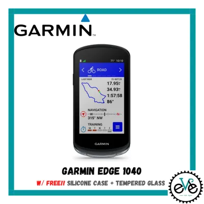
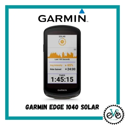
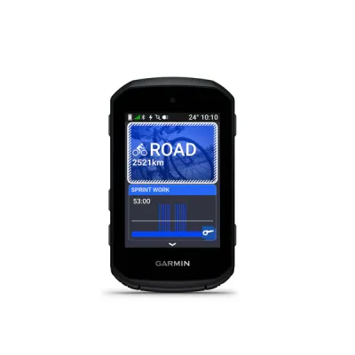
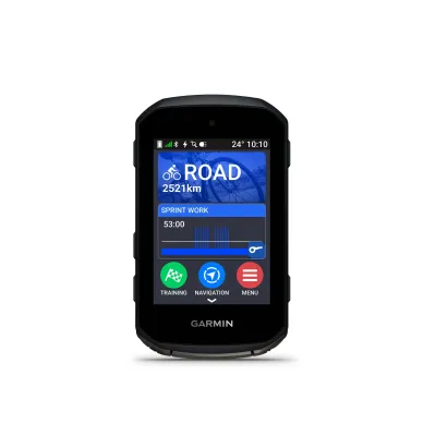
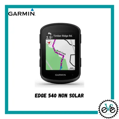
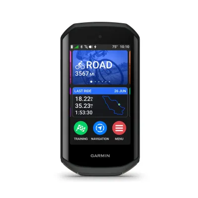
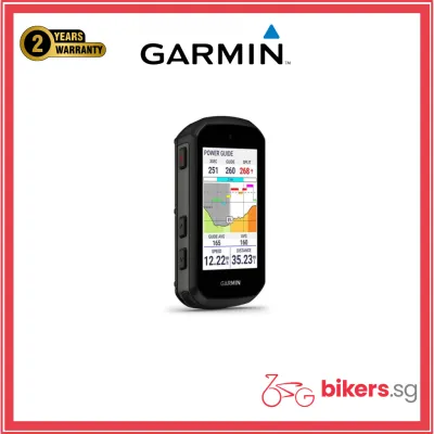
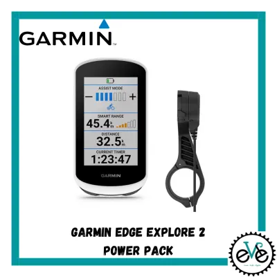
Prices are valid at publication and may change. Please refer to the product page for the latest price.
Mountain biking demands a completely different set of features from a GPS computer. Trail riding in Singapore involves navigating tight switchbacks, rocky descents, and muddy paths where physical impacts and heavy vibrations are common. Your device must feature a highly secure mounting system to prevent it from shaking loose over rough terrain. Additionally, trail navigation is inherently more complex than road routing; you need a screen that can display detailed trail forks and elevation profiles clearly, allowing you to make quick navigation decisions without stopping.
Operating conditions also differ significantly between the two disciplines. While road cyclists can usually avoid the worst of a rainstorm, mountain bikers are often exposed to mud, wet foliage, and sweat throughout their ride. This makes the physical interface of the device a critical consideration. A computer that is easy to operate when covered in grime and water ensures you can track your ride and navigate safely, regardless of the trail conditions.
Essential Garmin Edge Specifications to Compare
When comparing different Garmin Edge models, screen size and visibility are the first specifications to evaluate. Larger screens, typically measuring 3.5 inches or more, offer excellent map readability and can display up to ten data fields simultaneously. This is highly beneficial for complex navigation, but it comes at the cost of increased weight and aerodynamic drag. Smaller screens, around 2.6 inches, are much lighter and sit more discreetly on your handlebars, making them a favorite for competitive road cyclists who prioritize a minimalist setup.

Battery life is another crucial specification that varies across the product lineup. Manufacturers provide estimated runtimes based on optimal conditions, but real-world usage will vary depending on your active connections. Running multiple sensors via ANT+ or Bluetooth, keeping the screen backlight on high brightness, and using continuous GPS tracking will drain the battery faster. If you plan on undertaking ultra-endurance rides or multi-day cycling trips, verify the availability of battery-saver modes or compatibility with external power packs.
Navigation and mapping capabilities range from basic breadcrumb trails to full topographical routing. Basic models display a simple line on a blank background, which is sufficient if you are following a pre-planned road route but offers little help if you get lost. Advanced models feature preloaded regional maps with turn-by-turn navigation, popularity routing based on community data, and automatic off-course recalculation. These advanced mapping features are invaluable when exploring unfamiliar roads or navigating dense trail networks.
Finally, consider the interface options: touchscreen versus physical buttons. Touchscreens offer intuitive panning and zooming of maps, similar to using a smartphone, which is highly convenient when stationary or riding on smooth roads. However, physical buttons provide tactile feedback and reliable operation when wearing full-finger cycling gloves or when riding in heavy rain. Some riders prefer a hybrid interface that offers both options, allowing them to customize how they interact with the device based on the riding conditions.
Adapting Your Choice to Singapore's Climate and Terrain
Singapore’s tropical climate presents unique challenges for electronic devices, starting with extreme humidity and sudden, heavy downpours. Before purchasing a cycling computer, verify its water resistance rating. Most Garmin Edge models carry an IPX7 rating, meaning they can withstand accidental exposure to water up to one meter deep for up to 30 minutes. This is generally sufficient to handle intense tropical rain, provided that the rubber charging port covers are securely sealed before you set off on your ride.
Trail navigation in Singapore’s nature reserves, such as Bukit Timah or Kent Ridge Park, requires exceptional GPS accuracy. The dense jungle canopy in these areas can block or reflect satellite signals, leading to inaccurate speed readings and drifted GPS tracks. To combat this, look for devices that support multi-band GNSS (Global Navigation Satellite System) technology. By accessing multiple satellite frequencies simultaneously, these models maintain a stable connection and provide highly accurate positioning, even under thick foliage or near tall buildings.
For road cyclists navigating busy public roads or shared paths like the Park Connector Network, safety and connectivity features are paramount. Many Garmin Edge models offer compatibility with rearview radar systems, which detect approaching vehicles from behind and display visual and audible alerts directly on your computer screen. Additionally, features like live tracking and incident detection allow family members to monitor your location in real-time, providing peace of mind during early morning or late-night rides.
Decision Framework: Which Garmin Edge Tier Fits Your Ride?
To simplify your selection, categorize the available Garmin Edge models into three distinct tiers based on your primary riding discipline and feature requirements:
- Compact, Button-Operated Tier: This tier is highly suitable for dedicated road cyclists, criterium racers, and weight-conscious riders. If your primary goal is tracking performance metrics on paved roads and you rarely require advanced map navigation, a compact model with physical buttons offers excellent battery life, minimal aerodynamic drag, and reliable operation in all weather conditions.
- Mid-Sized Touchscreen Tier: This tier represents a versatile option for riders who split their time between road cycling and light trail riding. It balances a highly readable screen size with a relatively compact form factor. The touchscreen interface makes map navigation much easier when exploring new routes, while the inclusion of physical buttons ensures you can still operate the device during a sudden downpour.
- Large-Screen Navigation Tier: This tier is designed for dedicated mountain bikers, trail explorers, and cyclists who require maximum map readability. If you frequently navigate complex trail networks or prefer seeing large, detailed maps and elevation profiles at a glance, a large-screen model is highly beneficial. The extra screen real estate allows for clear turn-by-turn directions and easier interaction with on-screen menus, even when vibrating over rough terrain.
Before making your final decision, always verify the exact specifications on the manufacturer’s official website. Check the physical dimensions, weight, battery life claims under specific sensor configurations, and the exact mapping packages preloaded for the Southeast Asia region to ensure the device aligns perfectly with your local riding needs.
Frequently Asked Questions (FAQ)
Do I need custom maps for mountain biking in Singapore?
Preloaded regional maps on Garmin Edge devices generally cover major roads, paved paths, and some established trails. However, for highly detailed mountain biking networks like those in Chestnut or Ketam Mountain Bike Park, the preloaded maps may lack specific trail names or minor forks. Cyclists can check compatibility with third-party map formats or community-sourced platforms like Trailforks. Many Garmin devices allow you to sync these platforms directly, providing detailed trail difficulty ratings, elevation profiles, and community updates that are essential for a safe and enjoyable trail ride.
How does heavy rain affect touchscreen responsiveness?
Heavy tropical rain can cause water droplets to register as touches on capacitive screens, potentially changing data screens or pausing rides unexpectedly. To mitigate this, many touchscreen Garmin Edge models include a screen lock feature or allow you to adjust touch sensitivity. However, if you frequently ride in wet conditions, physical buttons remain the most reliable interface. Choosing a model that features physical buttons alongside a touchscreen, or relying on a button-only device, ensures uninterrupted operation during Singapore’s sudden downpours.
Community discussion
Share your experience or ask a question. Comments are reviewed before publication.